











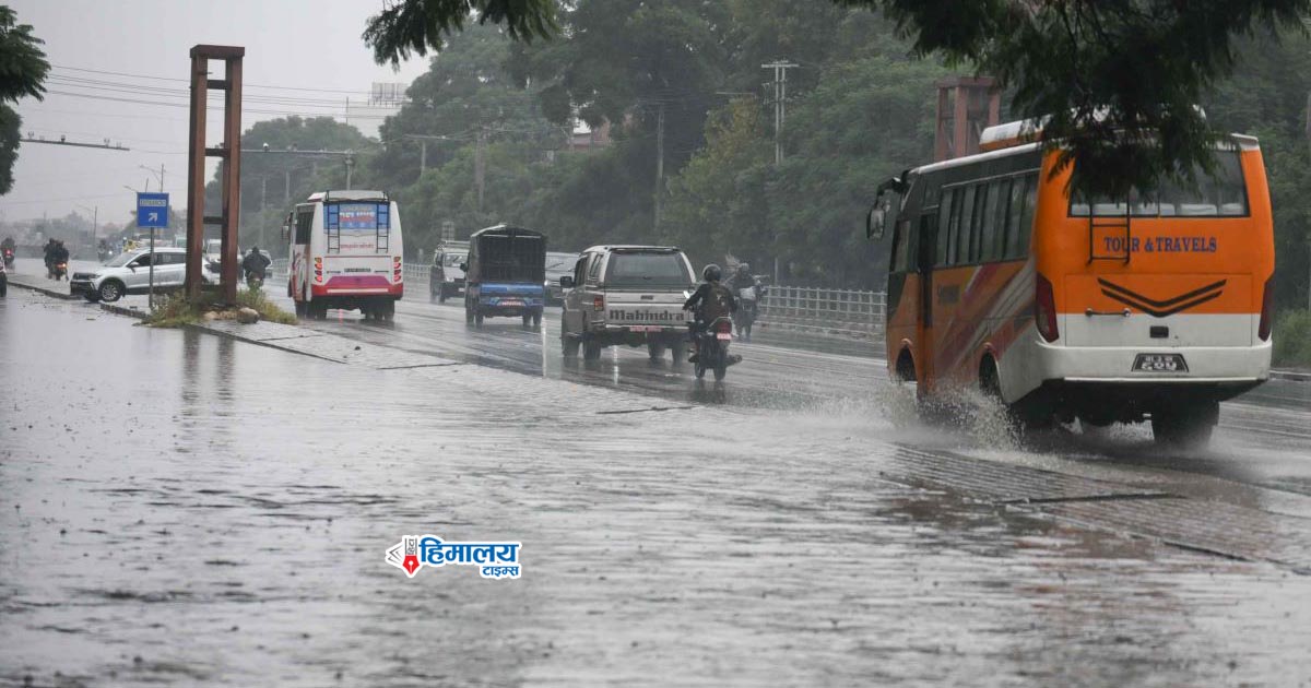






Kathmandu. Generally, with the start of Ashwin (late September), rainfall is expected to diminish and the weather is anticipated to gradually clear up. However, this year, signs point toward heavy rainfall just as the monsoon is nearing its end. A developing low-pressure system in the Bay of Bengal, a western atmospheric system, and the likely interaction with dry air forming as the monsoon retreats from northwestern India are showing a strong potential to bring heavy rains across Nepal.
Meteorologists are keeping a close watch on the period from Ashwin 8 to 12. Various weather forecasting models indicate that many parts of Nepal could experience heavy rainfall during this timeframe. Preliminary assessments by meteorologists show that certain models even predict rainfall exceeding 400 millimeters in specific locations, reaching up to a maximum of 741 millimeters. The Department of Hydrology and Meteorology classifies rainfall above 200 millimeters as "extremely heavy rainfall." However, these remain preliminary forecasts.
According to experts, the system developing in the Bay of Bengal is still capable of changing its direction and intensity. Upcoming atmospheric developments over the next few days will determine whether it escalates into a cyclone, what path it takes, and how much of an impact it will retain upon reaching Nepal. The India Meteorological Department (IMD) noted that a low-pressure system is currently forming around the Andaman Sea, which could increase weather activity in the Bay of Bengal and draw monsoon moisture into Nepal.
Sanjeev Adhikari, a meteorologist at the Meteorological Forecasting Division of the Department of Hydrology and Meteorology, stated that there is a possibility the system from the eastern Bay of Bengal could merge with the western system. According to him, initial forecasts suggest that Sudurpashchim and central Nepal are most likely to experience heavy rainfall.
He advised the public to keep an eye on weather updates and take necessary precautions. Nevertheless, such systems sometimes weaken into depressions and dissipate, or alter their direction entirely. Therefore, he mentioned that it will take a few more days to reach a final conclusion regarding the exact volume of rainfall, its geographic distribution, and the level of risk.
In Nepal, the monsoon typically withdraws around October 2. Meteorologist Adhikari noted that since the current weather system remains active, the monsoon is expected to retreat around that usual timeframe. Last year, the monsoon exited Nepal in the third week of Ashwin. This year, it entered the country on Ashadh 5, about 10 days later than average. In recent years, heavy rainfall during Ashwin has become a recurring pattern in Nepal. Heavy rain in Ashwin is no longer a rare event for the country, and over the past few years, late-monsoon downpours have caused significant damage through floods, landslides, and inundation.
Higher Probability of Rainfall in Western Nepal
Dharma Raj Upreti, Executive Chief of the National Disaster Risk Reduction and Management Authority (NDRRMA), stated that preliminary estimates do not show a likelihood of rainfall in the Kathmandu Valley and surrounding areas as severe as in western Nepal. He mentioned that Kathmandu is expected to experience moderate rain, with early signs suggesting a relatively greater impact in western Nepal. However, because the system's direction and intensity could still shift, further analysis is required regarding rainfall in Kathmandu and other regions.
According to him, early estimates show that the system could affect most parts of the country. The Authority noted that the western region from Narayani to Kanchanpur is likely to see comparatively higher rainfall, raising the risk of floods. The Authority advises taking precautions around riverbanks, settlements, roads, bridges, water resource projects, and structures under construction.
Concerns Over Agricultural Impact
Meteorologists have also warned that the potential heavy rains could adversely affect the agricultural sector. In many areas, paddy crops are currently ripening or entering the ripening phase, meaning continuous heavy rain carries the risk of waterlogging in fields, crop lodging, or damaging ready-to-harvest paddy. Consequently, along with the heavy rainfall warnings, farmers are urged to remain vigilant regarding weather updates. While meteorologists advise the public not to panic over the potential heavy rain forecasts, they stress that the risks should not be taken lightly either.
Possibility of Cyclone 'Arnab' Forming
According to the India Meteorological Department, a system formed over northern Thailand and adjoining Myanmar areas could give rise to a low-pressure area over the North Andaman Sea within the next 48 hours. The system is then expected to move toward the central Bay of Bengal and develop into a depression or deep depression by September 22.
If the system developing in the Bay of Bengal turns into a cyclone, it will become the first tropical cyclone of 2026 in the North Indian Ocean region. Should it form a cyclone, it will be named "Arnab," according to the World Meteorological Organization's cyclone naming list for the North Indian Ocean region. The name was proposed by Bangladesh. However, whether the system will actually intensify into a cyclone remains uncertain at this stage.
Forecasting Models Show Strong Chance of Heavy Rain: Meteorologist Pokharel
Binod Pokharel, Assistant Professor at the Central Department of Hydrology and Meteorology at Tribhuvan University, shared that studies of various weather forecasting systems indicate a strong likelihood of heavy rainfall. Based on current estimates, there is a probability of very heavy rain over three days.
"Looking at several forecast models, there is a strong possibility of heavy rain. It shows rainfall exceeding 400 millimeters, which is extremely high, and it could fall across many parts of Nepal or concentrated in specific areas," he said. "However, the conditions it might bring could be severe." He explained that because the monsoon has already withdrawn from northwestern India (Punjab, Haryana, Rajasthan, and up to Delhi), dry air is moving from those regions. This dry air will block the low-pressure system coming from the Bay of Bengal, pushing it toward Nepal where it is expected to trigger the heaviest rainfall.
"Don't Fear, Don't Panic, Stay Cautious, and Remain Alert": Meteorologist Upadhyay
Meteorologist and environmentalist Ujjwal Upadhyay also emphasized the need to closely monitor the weather system developing in the Bay of Bengal. According to him, most currently available weather forecast models show a serious situation between Ashwin 8 and 11.
Upadhyay noted that signs point to Ashwin 10 carrying the highest potential risk. However, he stated that the current forecasts should not be taken as a final conclusion. "I remain hopeful that the potential heavy rainfall between Ashwin 8 and 11 might tone down a bit," Upadhyay expressed. "Measured across almost all currently available models, the situation looks alarming."
He urged the public not to panic over the potential risks, but rather to maintain high alertness. "Let's not be afraid, let's not panic, let's stay vigilant, and let's remain as cautious as possible," he advised.
Bishwakarma Puja Being Observed today
Two-Way Traffic Operates On Krishnabhir
Buddhakhari Foundation Honors 13 Community
OpenAI Reveals Six New Cases
NASA Scan Discovers New, ‘Once
Only ‘Idiots’ Believe N. Korea